![]()
|
|
|
|
What information is held?
Habitat data
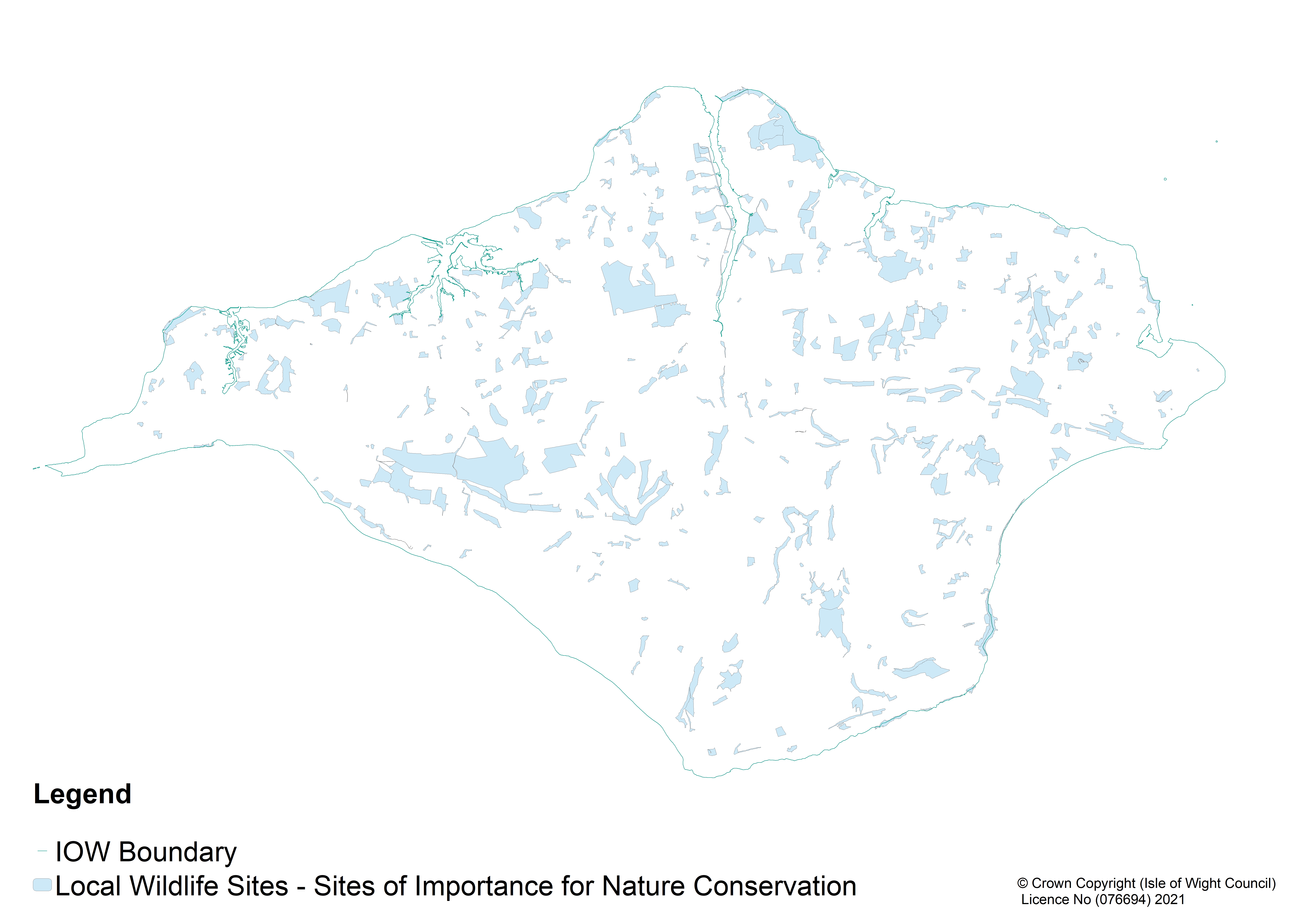
IWLRC maintains a Geographic Information System (GIS) containing detailed information on habitats from sites across the Island, including woodlands, heathland, chalk grassland, acid/neutral meadows, ponds and coastal sites. The data has been digitised from a wide range of surveys and is continually being updated as more information is received.
Aerial photographic coverage and various layers of site boundary information including statutory and non-statutory sites are also held.Statutory sites
IW LRC holds copies of all the statutory site boundaries maintained by Natural England, including:
Non-Statutory sites
IWLRC holds site boundaries for all non-statutory sites within the Island including:
*SINCs are non-statutory sites which are valuable for wildlife. They have substantive nature conservation value and their
continued presence makes a significant contribution to maintenance of
biodiversity. They may also have an important role in contributing to
public enjoyment and understanding of nature. DEFRA guidance is that they should encompass all areas of substantive value, including both the most important and the most distinctive species, habitats, geological and geomorphological features within a national, regional and local context.
The Biodiversity Partnership has the responsibility of reviewing the SINC register and recommending to the Local Planning Authority any necessary changes. The following documents give more details, but may not reflect any recent changes. For full and current records and more accurate maps, please contact the Local Records Centre.
Species data
Copies of datasets belonging to partner organisations are held and, through data exchange agreements with these partners, IWLRC can supply species information on their behalf. In particular, data administered by the IWNHAS on behalf of species recording groups can be accessed via IWLRC.
To request any of this information please see our data enquiry service at Data Requests.
| About IWLRC | Information held | Use of data | Data requests | Recorders' forum | Policies | Contact IWLRC | Wild on Wight |